Sources & pipeline

The systems that produce the region's data.

These are the sources — each country's National Soil Information Systems (data stays with the country) and the hub's own field and laboratory systems. Hub-produced datasets are stored and cited in Dataverse; the wider commons is made findable through GARDIAN. All of it is served through a secured gateway as the catalogue, under a written, versioned agreement with a named owner.

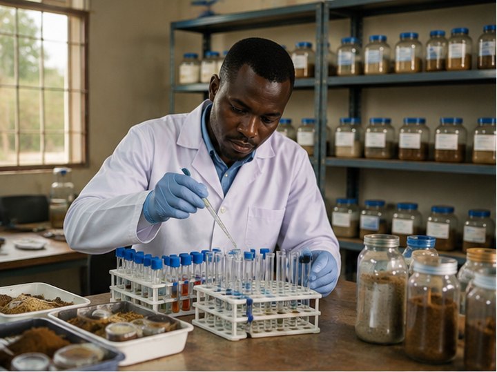
A technician in a soil-testing laboratory analysing samples in test tubes and trays.
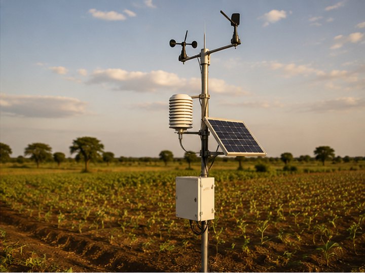
A field weather and environmental monitoring station with sensors and a solar panel in West African farmland.
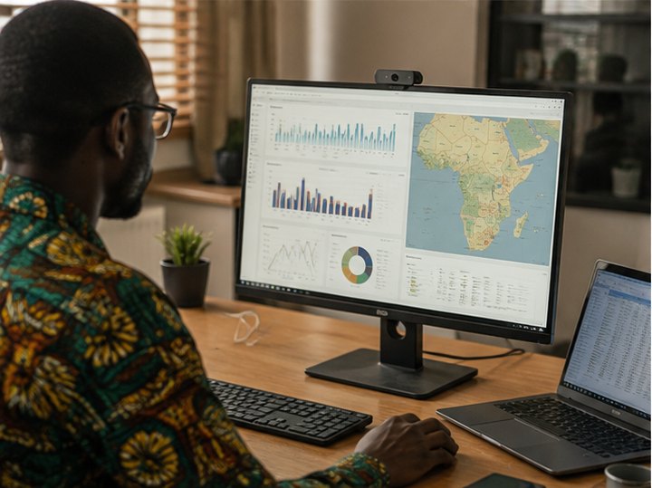
A data analyst at a workstation showing soil dashboards and a map of West Africa on screen.
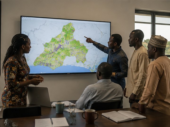
Researchers reviewing a national soil information map on a large screen.
0
Hub systems
0
Data flows
0
Pipeline stages
0
Governance rules
Open standards
Discovery & interoperability
By agreement
Access model
The systems

The systems behind the products.

The technical view: every system and federated layer that produces the hub's data products — with its metadata, field schema, lineage, freshness and how to request access. Each card is coloured by its pipeline stage — sources, governed core, processing, delivery. Search, filter, or open any entry for the full panel.

No systems match your search.

The pipeline

Four stages, one direction of travel.

The colours above — and on the diagram below — map to where a system sits in the pipeline.

01 · Sources

Where data is born

Field, laboratory and environmental systems that generate the raw record — soil samples, trials, weather and map layers. They hand data to the core through a contract; they never write to it directly.

SDMT · LIMS · Trial System · Geospatial · Weather
02 · Governed core

One source of truth

Everything is validated on arrival (bad records are quarantined, not dropped), catalogued with clear ownership and lineage, and kept as one canonical, versioned model — replacing extracts assembled by hand.

Central Data Store
03 · Processing

Turning data into models

Features are prepared with reproducible joins across soil, trial and weather records. Models are versioned, return their uncertainty, and every result is traceable to the exact data that produced it.

ML Module
04 · Delivery

Where it reaches people

Served through a secured gateway: advice for the field, exchange with national systems that keep their own data, evidence for the record, and maps for programmes.

Advisory · National systems · Knowledge · Maps
How the data flows

Follow a sample from the field to a recommendation.

Sources flow into the governed core — validated on arrival, catalogued, kept as one versioned source of truth. Models learn from it and write results back; every product is then served through the discovery & interoperability layer — a secured API gateway built on open standards. Down the right, governance applies at every tier. Nothing is openly exposed: access is by agreement.

Fig. 1 — Logical data flow & governance
Source Core Processing Interop. layer Delivery Data Feedback / return
sample manifest IDs, coordinates, depth, metadata soil analysis results methods, units & QC trial records treatments & yields rasters curated & predicted surfaces weather series training inputs model outputs & artifacts model serving national data (bilateral) extracted evidence returns to the models SDMT sampling & metadata LIMS laboratory analysis Trial System field experiments Geospatial Layers rasters · terrain · admin Weather Module series & forecasts Central Data Store ingestion & validation · metadata catalogue · curated storage one governed, versioned source of truth ML Module analytics · registry · serving DISCOVERY & INTEROPERABILITY LAYER the secured doorway every product is served through — built on open standards AKILIMO Advisory coming soon National Soil Systems keeps its own data Knowledge Repository evidence synthesis WebGIS soil maps & dashboards Researchers curated · read-only GOVERNANCE applies at every tier National data sovereignty Access control & named ownership Responsible-AI review Agronomic sign-off before release Audit trail & recorded lineage Versioned interface contracts
Sources feed the governed core; models are served to every product through the discovery & interoperability layer (a secured API gateway on open standards); feedback returns along the dashed paths. Click any box for its description & access. Scroll sideways for the governance rail.
Governance

Trust is built into the pipeline, not bolted on.

Systems integrate through the platform rather than with one another, and every connection is a written, versioned contract with a named owner on both sides. Six rules hold across every stage of the diagram.

01

National data sovereignty

Data is shared under agreements, and partner countries keep control and ownership of their own data. Sovereignty is a default, not a favour.

02

Access control & named ownership

Every dataset and interface has a named owner on both sides. Access is granted deliberately — consumers hold no credentials beyond what their role needs.

03

Responsible-AI review

Models are reviewed for responsible use before their outputs inform decisions in the field.

04

Agronomic sign-off before release

Nothing goes out externally without expert agronomic sign-off — the science is checked before it reaches a farmer.

05

Audit trail & recorded lineage

Every result is traceable to the data that produced it. The metadata catalogue records definitions, vocabularies, ownership and lineage — FAIR made demonstrable.

06

Versioned interface contracts

Each connection between systems is a written, versioned contract with named owners — so nothing changes silently underneath anyone.

Every partnership also runs under the data-protection law of the country involved and the region's frameworks (ECOWAS and the African Union), with international best practice — including the GDPR principles of consent, clear purpose and collecting only what's needed — as the baseline. The platform mainly holds soil, trial and environmental data; personal details are kept to a minimum and stay under each partner's control.

Open & connected

Easy to find. Easy to connect.

A shared platform only helps if people can actually find the data and plug it into their own tools. So everything here is made to be searchable, clearly explained, and ready to connect — using open, international ways of sharing data instead of one-off formats that lock information away.

See what exists

One place lists every dataset, so you can tell at a glance what the hub holds — no guessing, no hunting.

Understand it

Each dataset comes with a plain description, who owns it, and where it came from — so you know what you're looking at.

Connect without custom work

Systems share data in common, open formats, so your tools can read it straight away instead of needing special code.

No lock-in

Because it follows open international standards, your software is never tied to ours — today or in the future.

Built on open international standards — DCAT, OGC API, STAC, OpenAPI, FAO GloSIS (ISO 28258) and the FAIR data principles — so the platform stays compatible with the wider world of data tools.

Every dataset is published to a live, machine-readable DCAT catalogue (data.json) with schema.org metadata — so the hub's data is discoverable in Google Dataset Search and harvestable by CKAN, HDX and CGIAR GARDIAN. This is the federating registry other portals plug into, not another silo.

Licensing Open datasets under CC-BY-4.0; restricted data under a data-sharing agreement. Each dataset states its own licence and a ready-to-use citation.
Hosted by IITA for the Regional Hub for Fertilizer & Soil Health — West Africa & the Sahel, with its partners and national soil-information systems.

For developers

Discover datasets from the machine-readable catalogue and call the secured API gateway. The quickstart, full endpoints reference, self-service API keys, authentication and data standards all live in the docs.
In partnership with
Partner with the hub

Let's start a data-sharing agreement.

Want to use a system, connect a national soil system, or set up a bilateral exchange? Tell us what you need and how you'll use it — nothing is openly exposed, so every partnership begins with a short, formal request and a data-sharing agreement.

1Tell us what you needA short request form — a couple of minutes.
2We review & agree the termsThe hub team confirms scope and the data-sharing terms.
3You get secured accessDelivered through the secured gateway, under agreement.
Get in touch

regionalfsh@cgiar.org

Regional Hub · Fertilizer & Soil Health · West Africa & the Sahel System status · Central Data Infrastructure · 2026