One front door to the data, evidence and tools of West Africa & the Sahel — drawn from each country's National Soil Information Systems and the wider research commons, and governed at the door so every country's data-sharing agreement is honoured. Some products are open; others you request under a simple agreement. See the systems that produce them.
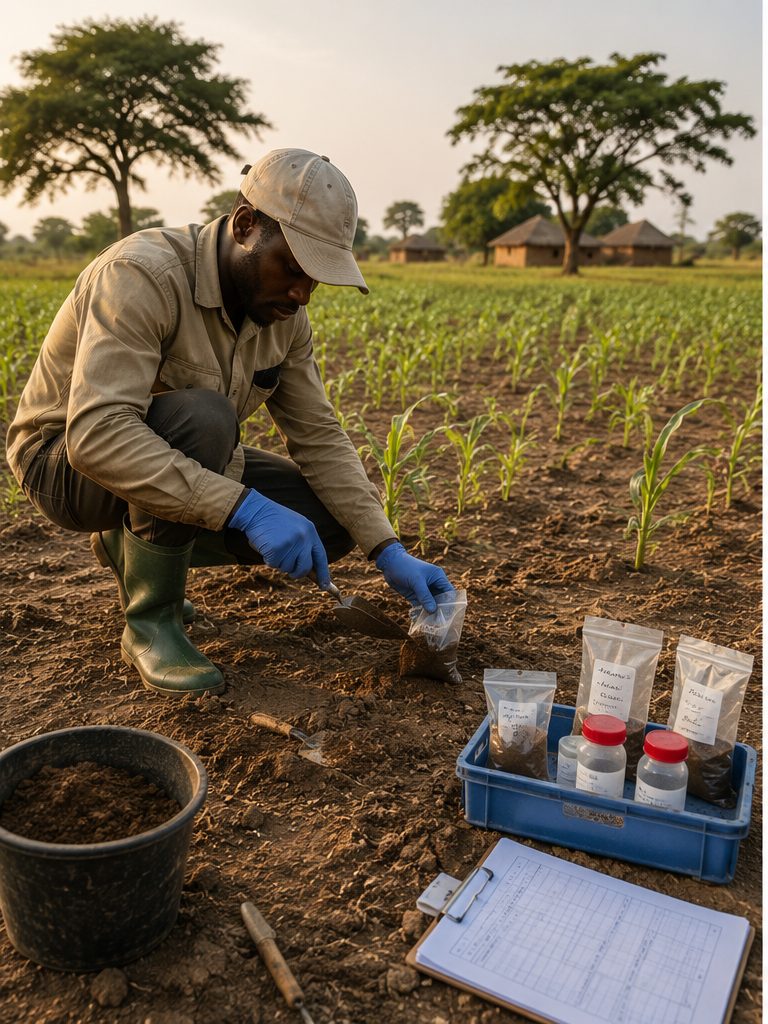
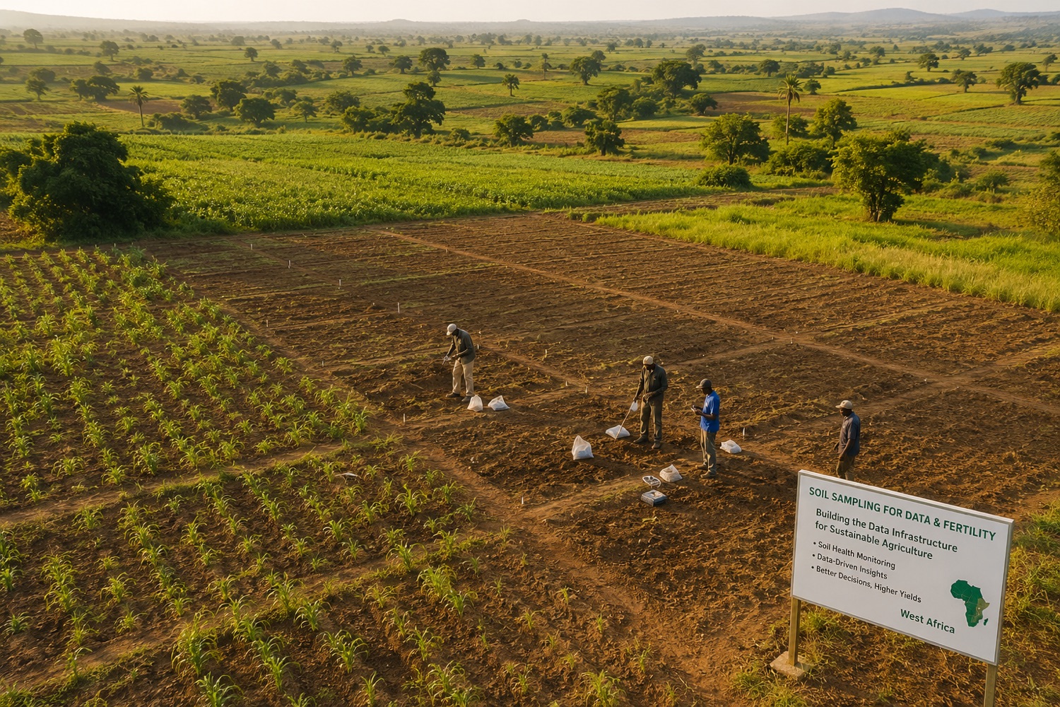
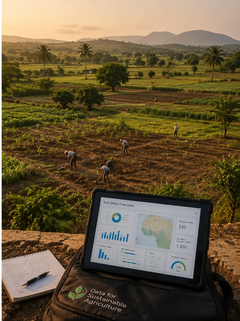
Better soil data means better fertiliser advice — and stronger harvests across West Africa and the Sahel.
The Regional Hub exists to improve fertiliser advice and soil health across West Africa & the Sahel. Good decisions need good evidence — so the hub shapes the region's soil data into products people can actually use. Each is typed by what you do with it: the raw evidence, the understanding it becomes, and the tools that put it to work. That is why the catalogue is Data, Knowledge and Tools.
The measurements themselves — soil properties, field trials and National Soil Information System data. Analysis-ready and citable.
Evidence turned into understanding — publications, syntheses and guidance drawn from the research corpus.
Ready-to-use services — maps, advisories and dashboards that turn the data into an answer, no data-wrangling needed.
The Central Data Infrastructure doesn't collect or re-host data. It federates across the systems that already hold it and governs the way in — so each country keeps control of its own data, and the wider research commons is connected, not copied.
Each country's own system — Ghana, Liberia and Sierra Leone connecting now, Nigeria next. The data stays with the country; the platform connects to it under a data-sharing agreement.
Sovereign · connected under agreementRegional and global reference data the hub draws on — stored and cited in CGIAR's Dataverse (DOIs, versioning), made findable through GARDIAN, plus open layers like SoilGrids and iSDA.
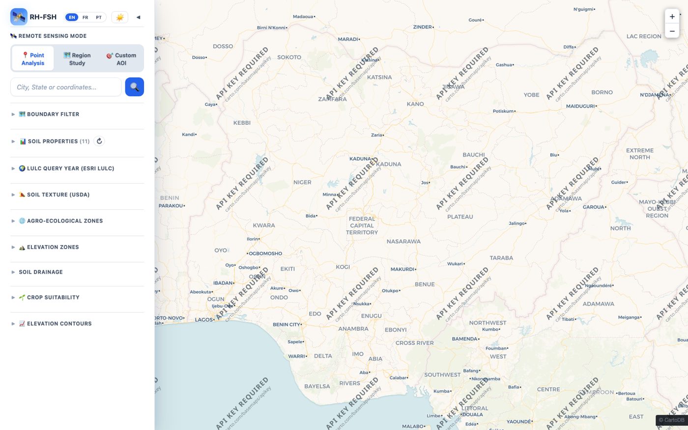
Stored · discoverable · citedThis is where you request and use the data the region owns and produces — each country's National Soil Information Systems (yours under a simple data-sharing agreement), plus the hub's advisory, maps and research datasets. It isn't another index of the global commons: for that we point you to GARDIAN — we connect and govern, we don't copy. Start with the live soil map below.
Live tool
Open Full Portal ↗
Filter by country, boundary, depth and soil property; inspect 11 soil properties, land cover, agro-ecological zones, texture and elevation; click any sample point for full laboratory data and horizon profiles.
Open the interactive map ↗Whichever product you came for, there's a clear way in for your role — and a clear reason to connect.
Curated, well-described datasets for analysis, publication and independent validation — with clear ownership and history you can cite.
Ready-to-use maps and fertiliser advice you can act on in the field — no data skills and no account needed. Just open the tool.
Ready-to-use data and advisory outputs to design, target and run field programmes — and to measure whether they work.
Trusted soil and fertiliser evidence to target subsidies, set standards, and plan programmes on facts — plus a national system the country owns.
A shared, interoperable backbone for harmonised soil data across member states — while every country keeps its sovereignty.
A clear view of coverage, gaps and results — so investment goes where it's needed most, and can be shown to deliver real impact.


Open products you can just use — no agreement needed. This is for everything else: to connect a national system, set up a bilateral exchange, or reach data that's shared by agreement. Tell us what you need and how you'll use it; the hub team confirms the scope and terms, and access is served through the secured gateway.
regionalfsh@cgiar.org